Guam’s Land, Rivers, and Streams
Watershed Basics
-
An area on land that funnels water into the ocean.
More specifically, a watershed is an area of land that channels rainfall (and snowmelt in other areas of the world) into creeks, streams, and rivers which flow into larger bodies of water such as reservoirs, bays, and the ocean. They are also sometimes called drainage basins or catchments.
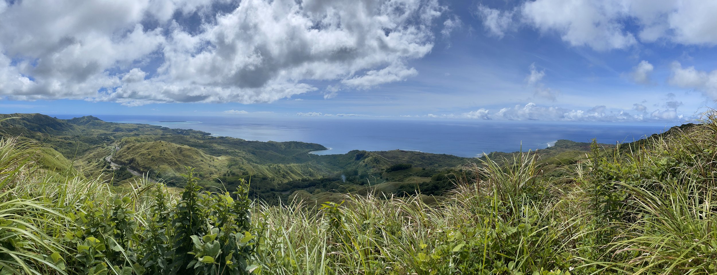
Watersheds are greatly affected by topographical features like mountains and hills because they can affect how fast the water flows down to the ocean and the path it takes to get there.
In Guam, the mountain ridge along the western coast is the main feature that affects local watersheds. This ridge is very steep on the west side, but more of a gradual slope on the east side. For this reason, watersheds on the western side are characterized by steep areas with short, narrow streams, while watersheds on the eastern side are known to have broader floodplains and wider rivers.
-
They do all kinds of great things for us - for free!
Watersheds are important for a number of reasons:
Healthy watersheds with abundant forested areas are not only beautiful and fun to explore, but they also serve as important habitats for native plants and animals.
On top of that, watersheds provide a number of free ecosystem services to us, like naturally filtering contaminants out of our drinking water and keeping the soil stabilized with deeply-anchored plant roots.
For Guam, it is especially important to maintain and create healthy, forested watersheds to protect our nearshore coral reef ecosystems from sedimentation caused by erosion.
-
17!
All of Guam’s watersheds are located on the southern half of the island. Here are the names of all 17:
Agat, Apra, Cetti, Fonte, Geus, Hagåtña, Inarajan, Malojloj/Dandan, Manell, Pago, Piti-Asan, Taelayag, Talofofo, Toguan, Ugum, Umatac, and Ylig watersheds
-
When too much dirt and soil flow into the ocean.
First of all, sediments are heavy particles, like dirt and small rocks, that can’t dissolve in water and sink. Sedimentation in this context is when sediments flow into the reef; usually by way of streams, rivers, and heavy rainfall; and accumulate in the ocean.
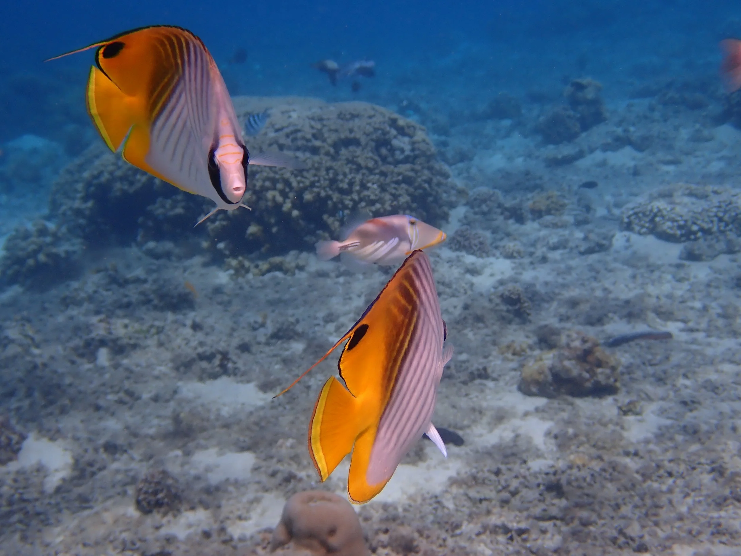
Once in the ocean, waves can easily churn up these sediments, causing them to cloud the water instead of settling at the bottom. When sedimentation occurs on or near coral reefs, the cloudy water can make it difficult for corals to access the sunlight they need. Sediments can also smother coral polyps, negatively affecting their health and reproduction.
Where are Guam’s Watersheds?
All 17 of Guam’s major watersheds are found on the southern half of the island.
On the northern half of the island, rainwater doesn’t collect in watersheds; instead, it seeps into the ground where it collects in a groundwater system known as the Northern Guam Lens Aquifer

Why is this the case?
The north and south of Guam are actually entirely different geologically! The two halves are separated by the Pago-Adelup fault and have developed different geologic features over time.
-
The northern half is mostly made up of coralline limestone, which is porous and absorbs water easily. This means that instead of rainwater staying on the surface and getting channeled into rivers, streams, and watersheds, it seeps underground. (Digital Atlas of Northern Guam | WERI)
-
The southern half mainly consists of volcanic rock, which is much less porous and does not absorb water as easily. This type of rock largely prevents water from seeping deep into the ground and keeps it on the surface, where it flows through rivers and streams. (Digital Atlas of Southern Guam | WERI)


Caring about corals from
Ridge to Reef
Photo by Guam DoAg Forestry
“Ridge to Reef” is a holistic approach to restoring and protecting coastal areas by targeting upland areas (ridge) and marine environments (reef) in tandem to affect the greatest impact possible. Everything is connected, so what happens on the ridge can easily affect the reef.
If we want to protect our reefs, we must also protect our land, rivers, and streams!
Watershed Threats

Photo by Guam DoAg Forestry
Fire
Fire on Guam is one of the largest land-based threats to coral health. Wildfires on Guam occur primarily in Southern Guam where most of our streams and rivers are found. These fires kill large areas of vegetation, freeing up sediment that is then carried into our streams, rivers, and nearshore coastal waters during the next heavy rain event. This sediment load decreases water quality in our streams and rivers. Once it makes its way down to coastal areas, it settles onto corals and increases vulnerability to disease and death.
-
One way to help is by increasing awareness about the dangers of fire. Fires on Guam are totally preventable as they are all set by humans.
If you see any suspicious activity or burns starting call the Fire Department, GPD, or Guam Forestry immediately.

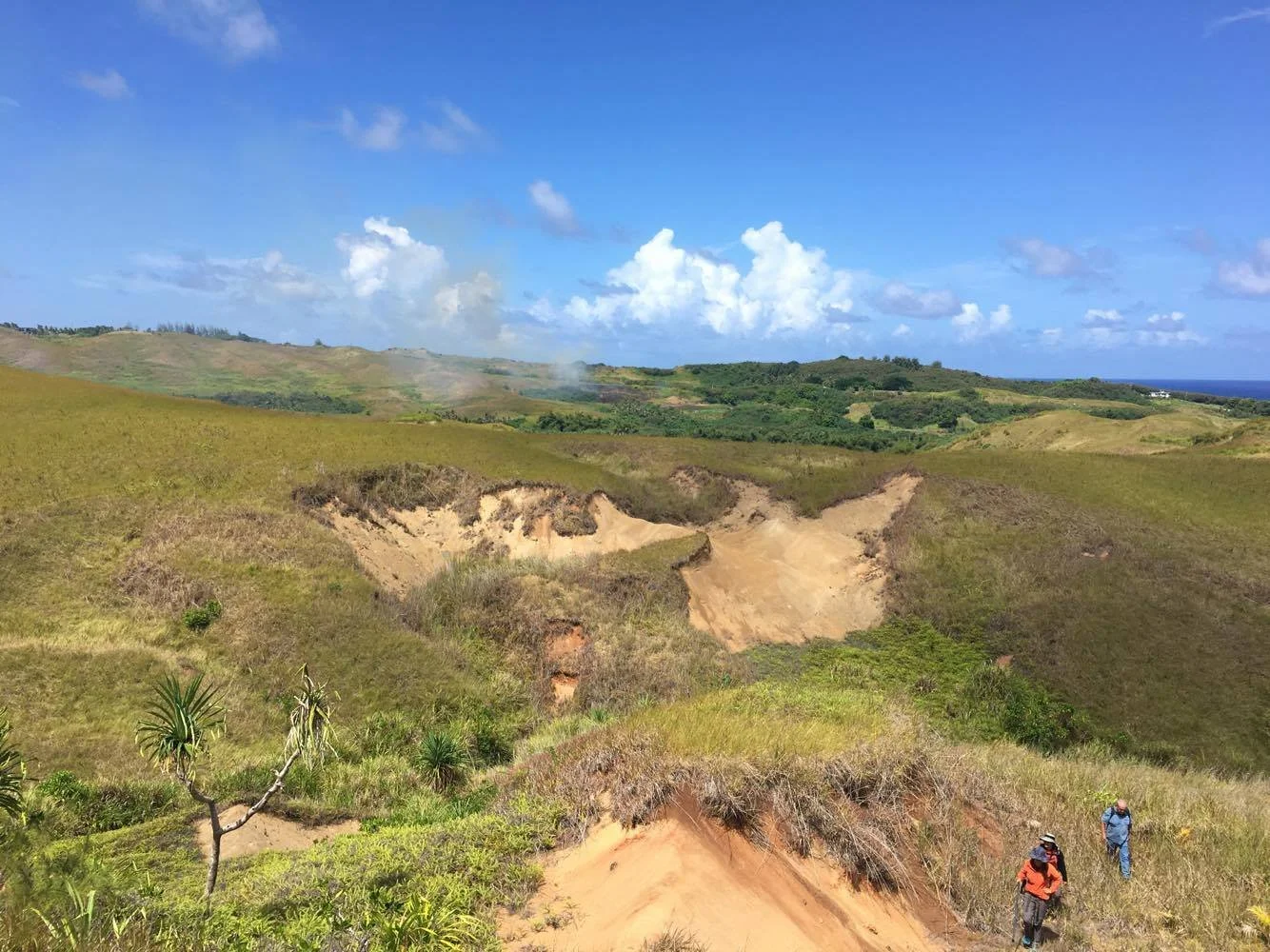
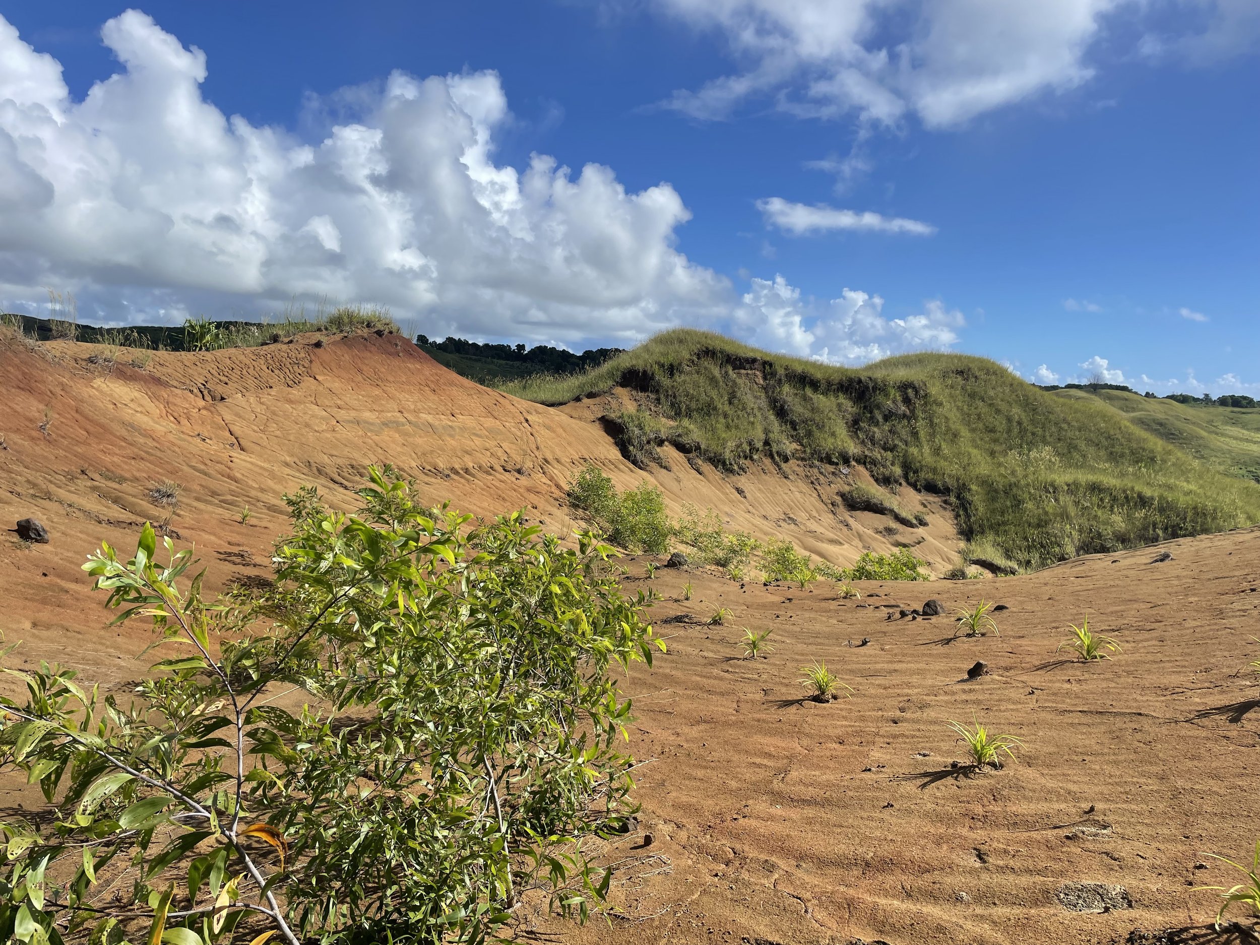
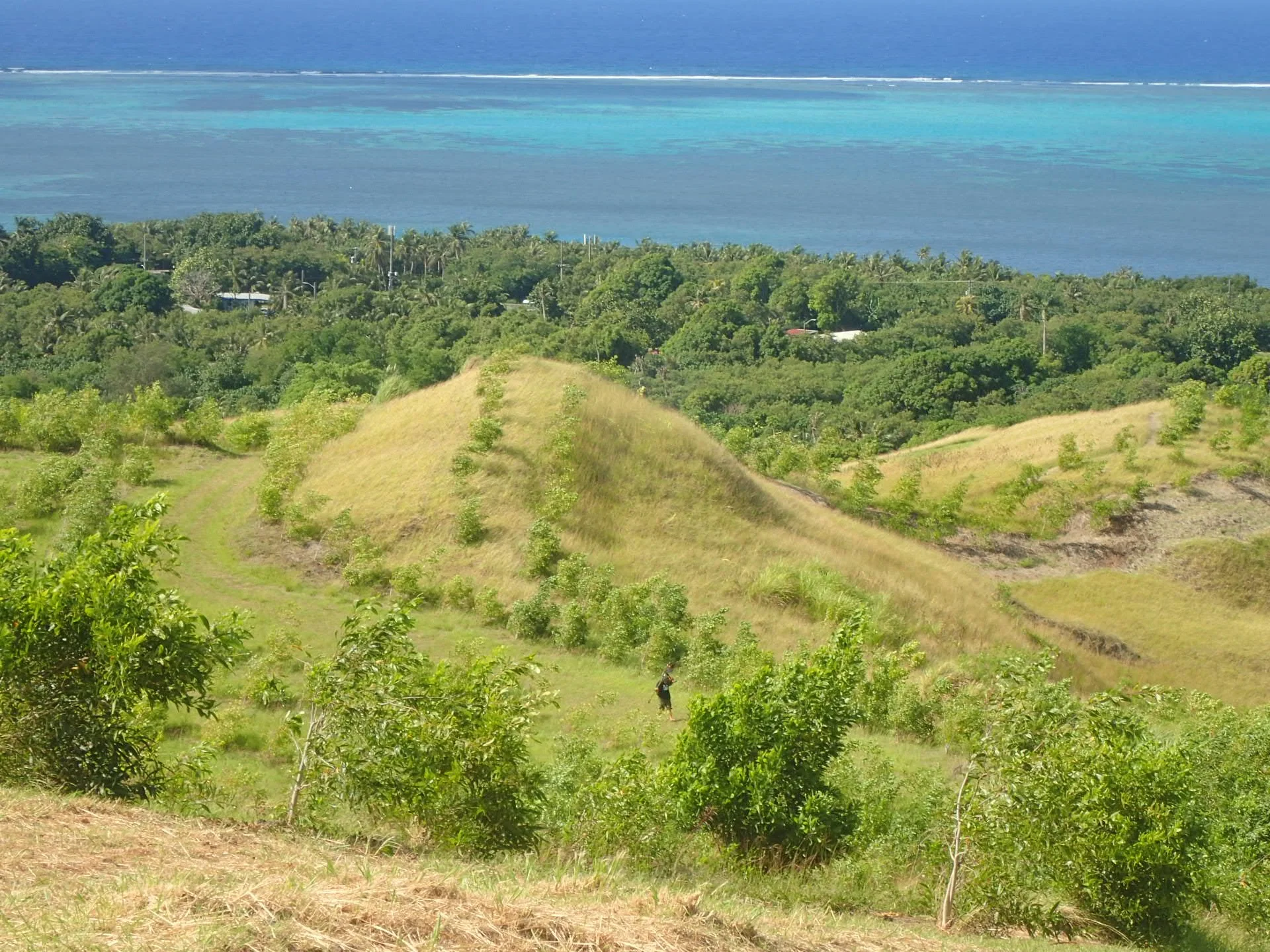
Off-roading, like fires, is another human activity that has wide-reaching negative impacts on the entire watershed’s health. Off-roading is the activity of driving vehicles on rough terrain (off-road). This activity tears up vegetation and can eventually lead the area to transition into badlands: a kind of terrain that rarely regenerates vegetation on its own and contributes high volumes of sediment into streams, rivers, and coastal waters.
Off-roading
-
One way to prevent this damage is by stopping off-roading altogether.
However, since this activity is a popular pastime on the island, an alternative would be to avoid off-roading after a heavy precipitation event or when the clay is especially muddy.

Photo by Lyn Champaco
Development
Development is a threat faced by watersheds worldwide. Although this is not a huge problem in southern Guam currently, we must still ensure that management best practices are followed whenever development occurs.
-
Unfortunately, yes.
The Barcinas Culvert in the Manell-Geus watershed is a good example of why it is necessary to remain vigilant and stick with best practices when planning for construction projects.
This development project took a naturally flowing river and diverted it to flow at two 90-degree angles. This project design has resulted in annual flooding events that negatively impact not only water quality in the surrounding area also but human health and safety.
-
By following local best practices for development!
Click the link below to access the guide:
Guam Erosion and Sediment Control Field Guide
Please share this with others you know who may be involved in development projects!
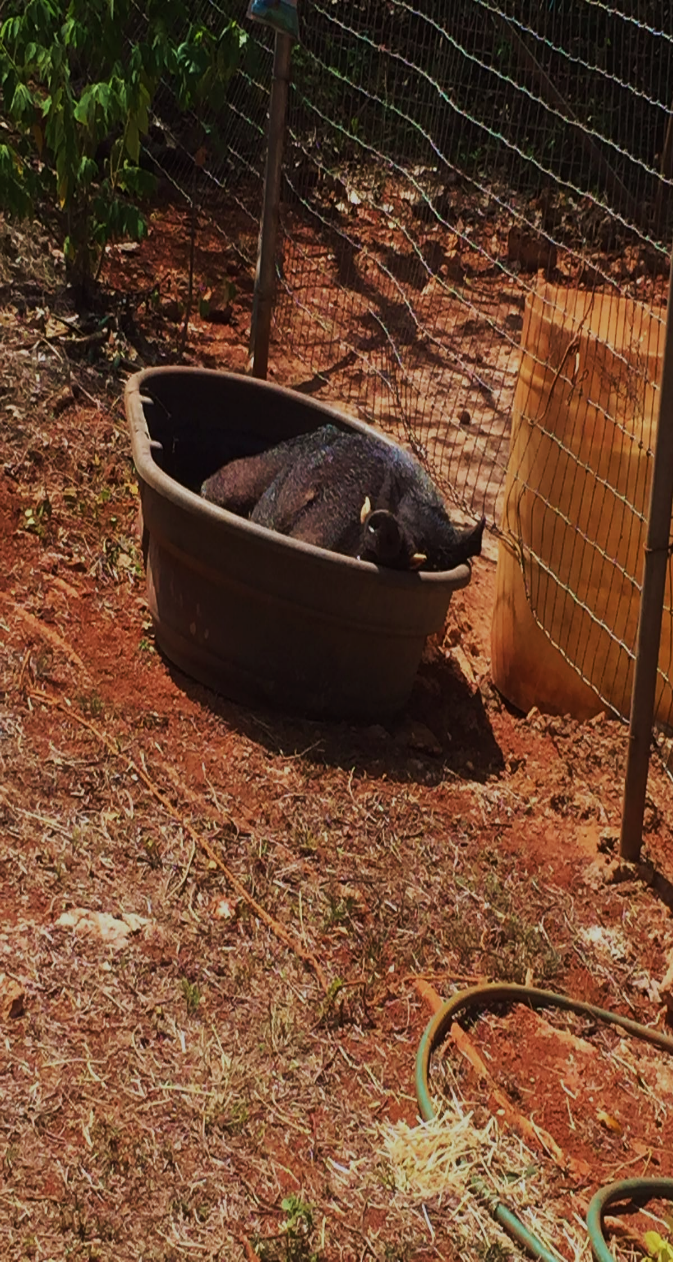
Photo by Adrienne Loerzel
Ungulates
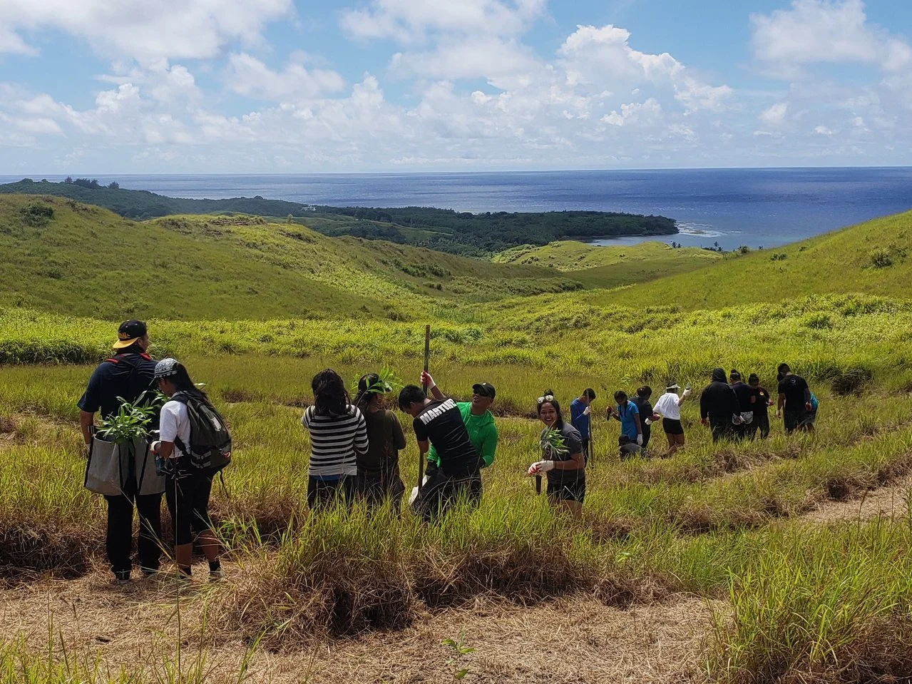
On Guam, we have two invasive feral ungulates (hoofed mammals): the Philippine deer (Rusa marianna), and the feral pig. Both of these species negatively impact the health of Guam’s streams, rivers, and coastal waters because of their constant grazing on native plants. They make revegetation efforts very difficult as well since they enjoy eating saplings (young trees) out-planted by volunteers and natural resource managers in attempts to reforest parts of Guam that have been degraded by fires and other activities. The deforestation of these areas increases sediment input into Guam’s water systems, decreasing the water quality of the reef.
-
One way Guam’s residents and managers are combating these invasive ungulate species is by participating in annual hunting derbies hosted by the Guam Department of Agriculture.
Explore Guam’s Land, Rivers, & Streams!